Each year, whales move thousands of miles between critical habitats–distinct areas of the ocean that are ideal for breeding, socializing, giving birth, and feeding. For example, some humpback whales give birth off the coast of Mexico during the winter and travel to Monterey Bay in the summer to feed. These migrations are becoming more dangerous due to factors including climate change; noise, plastic, and chemical pollution; shipping traffic; and drilling. To support protection of vulnerable whale communities, scientists from UC Santa Cruz and partner research institutions have mapped the main migration paths of whales between their ocean habitats, dubbing them “blue corridors.” Identifying the blue corridors illuminates all the different industries and locations that the whales intersect with on their journeys and will hopefully guide an international and collaborative approach to ocean and marine mammal stewardship.

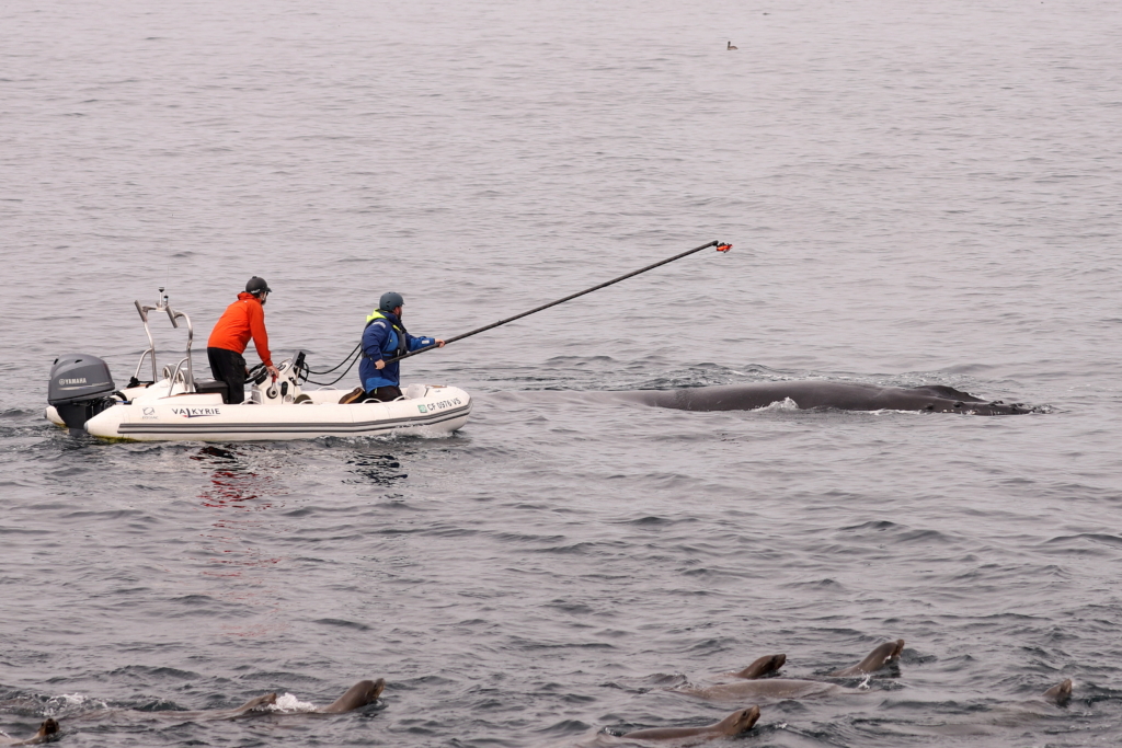
As part of our continued efforts to safeguard and better understand the migratory movements of whales through the blue corridors initiative, members of the Bio-telemetry and Behavioral Ecology Lab, in collaboration with Dr. Alex Zerbini and the Marine Mammal Laboratory, Alaska Fisheries Science Center/NOAA, deployed satellite-linked tags on humpback whales to track their movements along the California coast. To keep updated with the migration of the whales we tagged this spring in Monterey Bay, follow the map below.
All media and scientific work was collected under appropriate National Marine Fisheries (NMFS) / Marine Mammal Protection Act (MMPA) and Institutional Animal Care and Use Committee (IACUC) permits. Satellite tag deployments was conducted under NMFS permit 25563 issued to the Marine Mammal Laboratory, Alaska Fisheries Science Center, NOAA.


